Catalan Country hiking application : discover Géotrek in Pyrénées-Orientales
Find a Catalan Country hiking application reliable and complete is essential for organizing your nature outings in the Pyrénées-Orientales. Between sea and mountains, the trails are numerous and varied, particularly around Albères and Argelès-sur-Mer.
Géotrek has established itself today as the most practical Catalan Country hiking application for exploring the Mediterranean Pyrenees. Whether you are an occasional walker or passionate about elevation gain, it allows you to easily prepare your itineraries.
A Catalan Country hiking application designed for all levels
Géotrek centralizes a wide choice of hiking and mountain biking routes in the Pyrénées-Orientales.
Each route details :
- distance
- duration
- difficulty level
- height difference
- markup
- points of interest
This precision allows you to choose a hike adapted to your physical condition and the time available..
Whether you are looking for a family walk in the Albères or a more sporty hike with a view of the Côte Vermeille, the Pays Catalan hiking application makes your organization easier.
Explore the Albères and the Côte Vermeille with Géotrek
The Catalan Country offers a remarkable diversity of landscapes : beaches, coves, Mediterranean forests, terraced vineyards and panoramic ridges.
Thanks to this Catalan Country hiking application, you can prepare your outings towards :
- the coastal path between The Racou and Collioure
- the heights of the Madeloc Tower
- the crests of the Albères
- the forest paths aroundArgelès-sur-Mer
Integrated GPS tracking allows you to view the route in real time and avoid orientation errors.
It is a real asset for discovering the region with complete peace of mind..
A discovery of heritage in the heart of nature
The interest of this Catalan Country hiking application is not limited to the layout of the trails.
It also highlights local heritage : Romanesque chapels, signal towers, old mills, historic sites and remarkable panoramas.
Each hike thus becomes a complete immersion in the history and culture of the Mediterranean Pyrenees..
A practical tool to organize your nature stay
During a stay in Albères or on the Côte Vermeille, the Pays Catalan hiking application allows you to anticipate :
- the duration of the journeys
- the difficulty
- the points of view
- shaded areas
Some maps can be viewed offline, which is particularly useful in the mountains.
This provides comfort and security, especially for visitors discovering the region for the first time.
Vary the pleasures between sea and mountain
The Catalan Country allows you to easily alternate between beach and hiking.
A morning on the coastal path, a swimming break at Paulilles, then an altitude outing in the Albères : everything becomes easier to organize with a Catalan Country hiking application adapted to the territory.
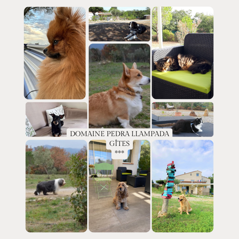
Since the lodgings of Domaine Pedra Llampada, located in the heart of Albères, several routes are accessible in just a few minutes.
Why use a Catalan Country hiking application ?
Using a specialized application allows :
- to discover less traveled trails
- to adapt your outing to the weather
- to secure your journey
- to enrich your hike with cultural information
Géotrek perfectly meets these needs for the Pyrénées-Orientales.
It is an excellent complement to traditional maps and facilitates the exploration of Mediterranean landscapes..
An ideal ally for exploring the Pyrénées-Orientales
Choose a Catalan Country hiking application like Géotrek, it means taking full advantage of the natural wealth of the Albères and the Côte Vermeille.
The tool centralizes the routes, promotes heritage and accompanies each outing with precision.
FAQ – Catalan Country hiking application
What is the best hiking app in the Catalan Country? ?
Géotrek is one of the most complete applications for discovering hiking and mountain biking routes in the Pyrénées-Orientales.
Can we use the application offline? ?
Some maps can be viewed offline, which is practical in mountainous areas.
Does the application offer hikes around the Albères ?
Oui, many routes are available around Albères and Argelès-sur-Mer.
Is it suitable for beginners ?
Oui, the routes are classified by level of difficulty.