
The Albères Massif : between sea and mountains at the gates of the Pyrenees
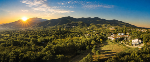
The Albères Massif marks the end of the Pyrenees chain before it plunges into the Mediterranean. This exceptional natural territory, located in the Pyrénées-Orientales, is made up of ten municipalities which share a rich heritage and varied landscapes.
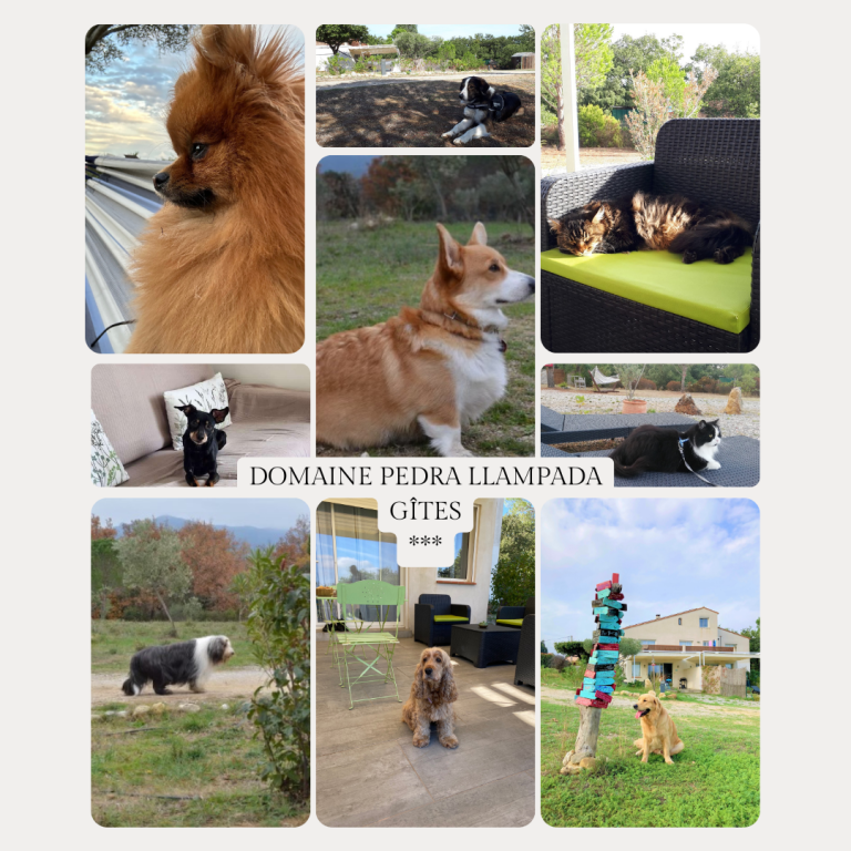
It's here, between sea and mountain, what is located Domaine Pedra Llampada, straddling two communes : Villelongue-dels-Monts and Saint-Génis-des-Fontaines.
The Albères offer a remarkable area of discovery, as much for heritage lovers as for hiking enthusiasts.
Villelongue-dels-Monts and its Priory of Santa Maria
Villelongue-dels-Monts is a typical Albères village, dominated by the silhouette of the massif. We discover the Priory of Santa Maria, witness to the religious and medieval history of the region.
The village is also a popular starting point for numerous hikes in the Albères., particularly towards the ridges offering panoramas over the Roussillon plain.
Saint-Génis-des-Fontaines and its Romanesque cloister
A few minutes away, Saint-Génis-des-Fontaines is known for its Saint-Michel cloister and its carved lintel, considered one of the oldest testimonies of Romanesque art in France.
The village maintains a peaceful atmosphere, ideal for a stroll before exploring the surrounding trails.
Laroque-des-Albères, Sorède and Montesquieu-des-Albères
The village of Laroque-des-Albères seduced by its castle and its ancient streets. It is also a privileged starting point for accessing the trails leading to the Tour de la Massane..
Sorède, located in the heart of cork heritage, recalls the historical importance of this activity in the Albères. Forest trails allow you to discover this preserved natural environment.
Montesquieu-des-Albères also offers beautiful hikes as well as the remains of its medieval castle, dominating the surrounding landscapes.
Le Perthus, Les Cluses, Lavail and L’Albère
The famous village of Perthus is known for its businesses located on the French-Spanish border. But beyond its commercial activity, it also provides access to high altitude hiking routes.
The hamlets of Lavail, with its waterfalls, of Cluses and of L’Albère are particularly popular with hikers. These wilder areas allow you to discover authentic and less frequented nature.
At the Ouillat pass, at the foot of the Auberge de l’Albère, notably begins the ascent towards the Pic du Néoulous.
The Pic du Néoulous, emblematic summit of the Albères
Peaking at 1256 meters, the Peak of Néoulous dominates the Albères Massif. This emblematic hike offers an exceptional panorama of the Mediterranean, the Roussillon plain and the Pyrenees peaks.
The departure from the Ouillat pass allows a gradual ascent, accessible to experienced walkers. The Auberge de l’Albère is also an excellent address for a gourmet break before or after exercise..
Signal towers and exceptional panoramas
The Albères are also known for their signal towers.
The Massane Tower, perched above Argelès-sur-Mer, offers a spectacular panorama between sea and mountain.
The Madeloc Tower, located further south on the Côte Vermeille, constitutes another emblematic point of view of the territory.
These sites allow you to understand the historical defensive organization of the massif while enjoying exceptional views..
Le Boulou, capital of Albères
The city of Boulou, considered the capital of the Massif des Albères, is famous for its thermal baths. It marks the transition between the plain and the mountainous reliefs.
An exceptional playground for hikers
The Albères offer a vast natural space suitable for :
- hiking
- mountain biking
- for panoramic walks
- on forest paths
The famous GR10, connecting Banyuls-sur-Mer to Hendaye, also crosses this territory, confirming the importance of the massif in the Pyrenean long-distance hiking network.
The Albères, between nature and serenity
The Massif des Albères represents a rare balance between heritage, landscapes and outdoor activities.
Whether you choose a hike towards the Pic du Néoulous, a stroll towards a waterfall in Lavail or the ascent of a signal tower, each outing offers immersion in a preserved environment.
It is this diversity that makes the wealth of the Albères : a territory where the mountains meet the Mediterranean, and where each path tells a story.
FAQ – Albères Massif
Where is the Albères Massif located? ?
The Albères Massif is located in the Pyrénées-Orientales, between the Roussillon plain and the Mediterranean. It marks the end of the Pyrenees chain before the Côte Vermeille.
What is the highest mountain in Albères? ?
The Pic du Néoulous is the highest point of the Massif des Albères with 1256 altitude meters.
Which villages make up the Massif des Albères ?
The massif notably includes Villelongue-dels-Monts, Saint-Génis-des-Fontaines, Laroque-des-Albères, Sorède, Montesquieu-des-Albères, Le Perthus, Les Cluses, Lavail, L’Albère and Le Boulou.
Can you go hiking in the Albères ?
Oui, the Albères offer many trails suitable for all levels, including access to the Pic du Néoulous, at the Tour de la Massane and the passage of the GR10.
Does the GR10 cross the Albères ?
Oui, the GR10 crosses the Albères Massif between Banyuls-sur-Mer and the interior of the Pyrenees.


1 Comment
Priory of Santa Maria del Vilar - Domaine Pedra Llampada 5 June 2026 at 7:24 am
[…] The Albères then constituted a territory of passage between the Iberian Peninsula and the Kingdom of France. This border position explains the cultural richness of the area and the presence of numerous Romanesque monuments in the surrounding villages., like in Saint-Génis-des-Fontaines or Sorède. […]